Home > Europe > United Kingdom > England > London > Sights > Bishops Park
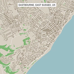
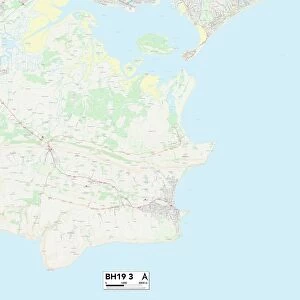
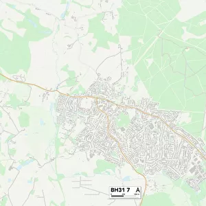
Purbeck BH19 1 Map

![]()
Wall Art and Photo Gifts from Map Marketing
Purbeck BH19 1 Map
Postcode Sector Map of Purbeck BH19 1
Media ID 19965548
Ancaster Road Argyle Road Bay Close Burlington Road Cecil Road Chestnut Mews Church Close Church Hill Cliff Avenue Clifton Close Clifton Road Commercial Road Cornwall Road Court Road Cranborne Road Gilbert Road Gordon Road Hanbury Road Hardy Close High Street Highcliffe Road Hill Road Howard Road Institute Road Linden Road Locarno Road Moor Road Morrison Road Mount Pleasant Lane Northbrook Road Parsons Close Princess Road Prospect Crescent Prospect Way Purbeck Redcliffe Road Shore Road Springfield Road Station Place Station Road The Parade Victoria Avenue Victoria Road Wessex Way Swanage
FEATURES IN THESE COLLECTIONS
> Arts
> Artists
> B
> James Bayes
> Arts
> Artists
> P
> Gordon Parks
> Europe
> United Kingdom
> England
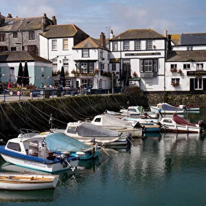
> Cornwall
> High Street
> Europe
> United Kingdom
> England
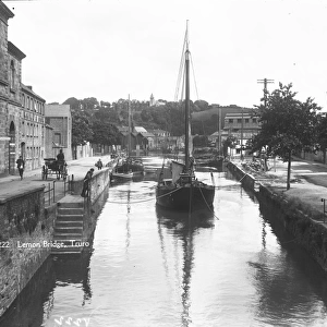
> Cornwall
> Mount
> Europe
> United Kingdom
> England
> Cornwall
> Related Images
> Europe
> United Kingdom
> England
> Cornwall
> Row
> Europe
> United Kingdom
> England
> Cornwall
> Victoria
> Europe
> United Kingdom
> England
> London
> Sights
> Bishops Park
> Europe
> United Kingdom
> England
> London
> Sights
> Victoria Park
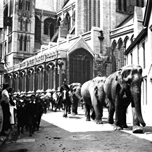
> Historic
> Battles
> Related Images
> Map Marketing
> Postcode Sector Maps
> BH - Bournemouth
MADE IN THE USA
Safe Shipping with 30 Day Money Back Guarantee
FREE PERSONALISATION*
We are proud to offer a range of customisation features including Personalised Captions, Color Filters and Picture Zoom Tools
SECURE PAYMENTS
We happily accept a wide range of payment options so you can pay for the things you need in the way that is most convenient for you
* Options may vary by product and licensing agreement. Zoomed Pictures can be adjusted in the Cart.